
Tracing a Millbrae Street Directory Address
An address search works best as a chain, not a single name lookup. A Millbrae street directory trail starts with the street form, postal city, and ZIP. San Mateo County parcel records supply the situs and APN. The map adds nearby polygons and recorded-map clues. The assessed owner starts a deed search but does not prove a current household. Permits and dated directories add separate evidence.
- Normalize the address. Standardize suffix and direction; verify postal city and ZIP.
- Capture the parcel key. Search the situs and save the APN exactly as returned.
- Walk the map. Note adjacent polygons and recorded-map links.
- Start the deed chain. Use the assessed owner as a grantee lead; compare the legal description.
- Add city files. Search Millbrae permits by address or APN for parties and dates.
- Respect voter limits. Handle voter information only through an approved use under Elections Code section 2194.
- Test past occupancy. Use a reverse directory or census record, not the tax owner.
The chain separates owner, parcel, project, and occupant evidence. Record the address, APN, legal description, source date, document number, and uncertainty.
Searchable Millbrae Street Records
A Millbrae street directory draws on several keepers, not one master roll. The San Mateo County Clerk-Recorder handles recorded land documents; the Assessor, GIS, Millbrae, Tax Collector, courts, and Elections answer different address questions.
| Record set | Keeper | Address signal | Access |
|---|---|---|---|
| Assessment or property report | San Mateo County Assessor | APN, situs, assessed ownership, mailing address, public values or traits | Property Information Portal or counter |
| Parcel and recorded maps | Assessor and Recorder | Parcel geometry, book/page, subdivision or parcel map | Free downloads; official counter copy |
| Recorded deed index | San Mateo County Recorder | Grantor, grantee, instrument, date, and title trail | Online or counter; copies have fees |
| Tax account | San Mateo County Tax Collector | Parcel tax and payment status | Online or counter; parcel evidence only |
| Permit and planning file | City of Millbrae | Applicant, owner, contractor, scope, and project dates | eProcess360 or city request |
| Court or probate file | San Mateo Superior Court | Estate authority, heirs, or addresses where unsealed | MIDX or file request |
| Voter registration file | ACRE Elections | Limited fields for an approved statutory purpose | Purpose-limited disclosure |
Sources overlap without proving the same thing. An APN connects assessor, maps, GIS, and deeds. A permit describes a project; a tax account shows parcel status; probate can show heirs only where access permits. A voter record is not a normal street browse. Pair a land record with a dated or project record.
Turn a Millbrae Address Into an APN
An APN is a nine-digit county parcel number. It may display with hyphens in a county result, but Planning GIS requires the digits with dashes and spaces removed. The secured-tax web search accepts a street address or APN, not an owner name. Begin with the situs address, then keep the APN as the stable key while comparing maps, deed clues, and permits. The number points to land records; it does not identify the person living there.
| Search field | Type | Required | Millbrae search note |
|---|---|---|---|
| Address | Text | Yes in address mode | Enter the situs; the portal geocodes candidates. |
| APN | Text | Yes in APN mode | Nine digits; remove dashes and spaces in Planning GIS. |
| Assessor map book/page | Text pair | Yes in that mode | Downloads the assessor map. |
| Map type | Tool or mode | Yes | Assessor Map, Parcel Map (PM), or Subdivision Map (RSM). |
| Volume/page | Text plus selection | Yes for recorded-map mode | Select the page, then choose Next. |
The San Mateo County assessor map instructions put address, APN, book/page, and recorded-map modes side by side.
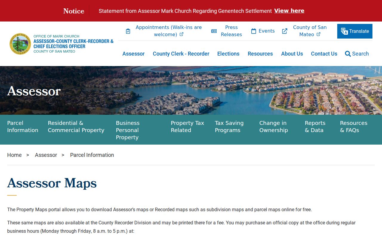
For a Millbrae street directory search, that layout makes the APN a reusable bridge between an address result, a parcel map, and the legal references used by the Recorder.
Browse Millbrae Street Parcels in GIS
San Mateo County's GIS gateway leads to the Property Information Portal. Documented layers include parcels, ZIP codes, precincts, legislative and supervisor districts, assessor maps, and map rasters. Use the Planning and Building Map Viewer to find parcels by APN and inspect a visible Millbrae street segment. County parcel layers remain useful for incorporated Millbrae; city zoning is authoritative for city zoning questions.
Enter the nine-digit APN without punctuation. The parcel highlights blue; click it for Map Tips, then use the upper-right page toggle for active-layer results. Compare nearby geometry, ZIP and district layers, and assessor-map references without treating a map label as a household name.
The San Mateo County GIS gateway is the mapping entry point, while the parcel and zoning instructions show the blue-parcel workflow.
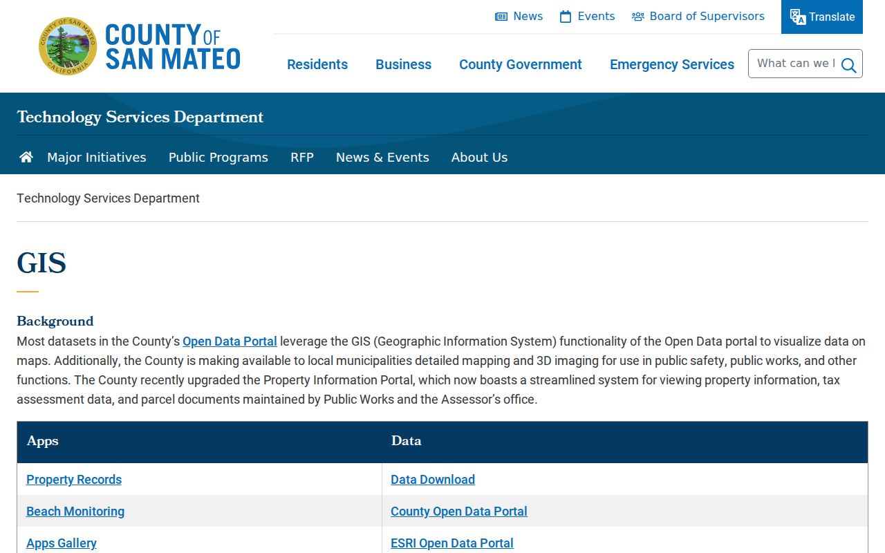
The county GIS view lets a Millbrae street directory follow adjoining polygons and map references, but an adjacent parcel is not proof of occupancy.
Note: The county TAXPARCELS service reports a 2,000-feature query cap, so a focused visible street segment is more useful than a broad export.
A Millbrae Owner Is Not an Occupant
The most common error in a street directory is treating ownership as residence. Situs is the physical parcel. The mailing address routes tax correspondence for the assessed owner and may be elsewhere. Household members and renters may not appear in the property record. A permit applicant can be an owner, contractor, or architect without being a resident.
- Parcel
- A mapped piece of land identified in the county system, often through an APN.
- Situs address
- The physical location of the improvement, which can differ from the owner's mailing address.
- Mailing address
- The destination for tax correspondence tied to the assessed owner, not a household roster.
- Plat
- A recorded map that helps connect a subdivision, lot, block, book, or page to land records.
- Criss-cross directory
- A reverse directory that can name a subscriber or householder by address and year.
An address-to-APN result is strong for parcel identity but weak for present occupancy. Pair the land trail with a dated directory or census record for family or house history. The historical collection layer is handled through the Millbrae city directory collections page.
Read Millbrae Deeds by Grantor and Grantee
The ACRE/Recorder Division keeps deeds, mortgages, liens and releases, decrees, and maps. A grantor transfers an interest; a grantee receives it. RecorderWorks offers a free grantor-grantee index from 1985 to the present. Its tabs include Name, Document Number, Document Type, Map, Recording Date, Book and Page, Predefined Search, and Options. Name mode uses Party Type and Name with partial matching on; APN mode uses nine digits without dashes. Start with the assessed owner as grantee, then compare seller, date, document number, and legal description.
| Visible index field | What to record |
|---|---|
| Recording date | When the indexed instrument entered the record. |
| Document number | The instrument clue for a later counter or copy request. |
| Document type | The kind of recorded instrument or map shown by the index. |
| Grantor and grantee | The transferring and receiving parties named in the index. |
| Book/page or legal reference | The reference that helps connect the index result to land records. |
| Image or order link | The available route for viewing or requesting a document, subject to access rules. |
The RecorderWorks grantor-grantee index is the county's direct entry point for that indexed deed trail.
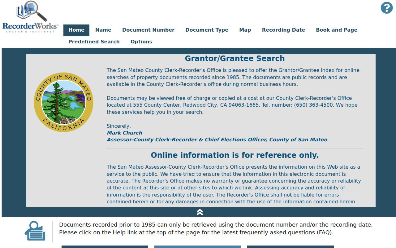
The index focus matters: online search supplies metadata, not the web image of every document. That keeps the deed chain useful without overstating what a remote result reveals.
Online images are withheld for privacy, but public terminals show documents free. The ACRE/Recorder Division is at 555 County Center, first floor, Redwood City. Appointment: 650-599-1713. Recording, deed, map, special-services, and vitals: 650-363-4500. Mail requires identifying metadata, payment, and a self-addressed stamped envelope. Office payment accepts cash, check, or Visa/Mastercard; mail uses a U.S.-bank check. Copies cost $5 first page plus $1 each additional; certification adds $5.
Recorder staff do not conduct title searches. Arrive with an owner name, APN, document number, book/page clue, or other instrument detail, then trace the chain yourself.
Millbrae Permits Add Project Context
Millbrae building and planning files create a separate address trail. Applications run through eProcess360 with Information, Scope of Work, Application, and Submittals stages. The Application stage collects the property address and owner, contractor, and architect. Hard copies are not accepted. Permit contact: PTech@ci.millbrae.ca.us and 650-259-2330. These files document a project, not current occupancy.
City Hall at 621 Magnolia Avenue is the municipal custodian. The Millbrae Public Records page links browseable Laserfiche and a web California Public Records Act request. Identify category, address or project, date span, and department. Determination is due within 10 calendar days, with up to 14 additional days by written notice for unusual circumstances.
A blue parcel and active layers can support an address match, while the city file supplies the project's named parties and scope.
Note: A permit party is evidence about a project at an address, not a verified resident or complete household record.
The San Mateo County parcel and zoning guide provides the map-layer reference for this address workflow.
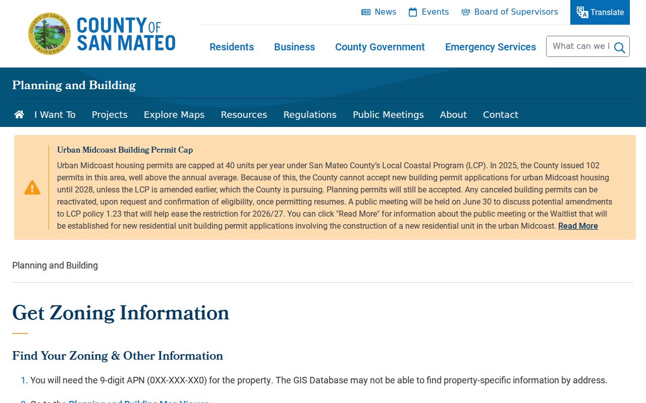
The parcel and zoning workflow is most useful when the city file and the county map point to the same APN, date range, and physical site.
Find Past Households on Millbrae Streets
Present owner and project records leave a gap when the question is who lived at an address before. A verified reverse or criss-cross directory can name a subscriber or householder by address and year. Census pages can establish household members, ages, relationships, occupations, birthplace, and address at the census date. The exact Millbrae directory run is not verified, so confirm holdings through the Millbrae Library or a history collection. Current property data is not a substitute for a dated household source.
Pair a dated directory with the 1950 federal census, the latest fully public decennial census under the 72-year rule. Compare street form, number, surname, and parcel clues. If names differ, treat that as a lead, not a reason to rewrite the parcel record. Householder, subscriber, and owner are not interchangeable roles.
Note: Exact Millbrae reverse-directory holdings remain a catalog question, so a missing scan does not prove a missing household.
Millbrae Street Lists and Voter Limits
My Voter Status lets a voter check their own registration, party preference, polling place, and election information. It authenticates an identity match; it is not a public surname or street browser. A non-match does not prove that a person is unregistered.
California law treats voter data differently from a parcel map. Under Elections Code section 2194, some fields may be supplied for approved election, scholarly, journalistic, political, or governmental purposes. Under Government Code section 7924.000, residence street, phone, email, prior registration, signatures, and unique identity numbers are confidential except for authorized use. Ballot selections are secret, and participation history never shows choices.
- Possible only for an approved purpose: name, city or ZIP, registration, status, party, precinct, and participation history.
- Confidential: residence street, phone, email, and prior registration information.
- Confidential: driver-license or ID number, Social Security number, unique voter identifier, and signature.
- Secret: ballot selections; participation history does not reveal how anyone voted.
There is no lawful anonymous public "show voters on this block" portal. A qualified requester must identify the requester or organization, purpose, geography and fields, delivery, and use acknowledgments. Ordinary Millbrae street research should use parcel and deed sources.
A Millbrae Address History Needs Its APN
Street labels can change, and one published example shows why an address should not stand alone. A City cultural-resources study records Millbrae Cabinet Shop at 250 El Camino Real in a 1940 telephone directory and at 304 El Camino in 1948. The 1949 Sanborn shows the building as 190 El Camino Real, then numbered 300. This is one documented example, not a complete citywide history.
Bridge those records with APN, lot and block, recorded map, and legal description. Assessor book/page and parcel or subdivision map modes connect the physical lot to Recorder references. San Mateo County was created from San Francisco County territory in 1856, and Millbrae incorporated in 1948, so an earlier trail may run through county records, maps, newspapers, and broader directories rather than City Hall alone. If two addresses look plausible, compare parcel geometry, legal description, dates, and map references. If evidence stays split, mark the link unresolved.
Note: The El Camino example documents one building's address changes, not a complete history of Millbrae street numbering.
County history gives a records-navigation chronology: the first courthouse opened in 1858; an 1868 earthquake destroyed its second floor; the nearly completed third courthouse was destroyed in 1906; the Temple of Justice opened in 1910; and the Hall of Justice and Records followed in 1955. No official source established wholesale record destruction. Recorder books and maps remain the durable property spine, while later indexing and imaging added access without replacing the originals.
Millbrae Postal Labels Need a Parcel Check
Millbrae's principal ZIP is 94030, a postal geography rather than the incorporated city boundary. The Millbrae Post Office is listed at 501 Broadway. Verify a city or ZIP label through USPS ZIP Lookup, then compare the county GIS ZIP_CODES and CITY layers with the city's permit jurisdiction. County custody stays with San Mateo County.
Research inspected did not establish another standard, PO-box-only, or unique ZIP assigned to Millbrae. Nearby postal labels need USPS verification. ZIP can orient an address search, but assessor instructions document address and APN search rather than a ZIP-wide owner browser. Street-level work still requires situs, APN, map, and legal description.
Note: A postal city label can orient a search, but the parcel, legal description, and city layer decide which record keeper to contact.
Where a Millbrae Street Directory Stops
An address-keyed street directory has clear limits. A tax owner and mailing address do not prove occupancy. Renters and household members are generally absent from property indexes. Utility customer data and DMV addresses are protected. Permit parties show project roles, not a household. Voter residence street, phone, email, prior registration, unique identifiers, and signatures are confidential except for authorized use. RecorderWorks withholds web images for privacy while terminals allow free viewing.
The San Mateo County recording-document FAQs set out the Recorder's self-search and no-title-search boundary.
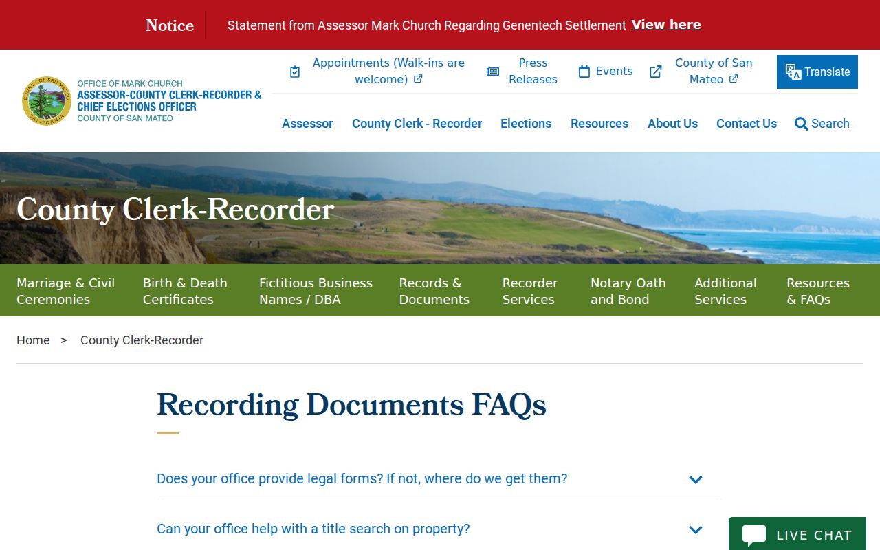
That boundary keeps a searchable street record from becoming a staffed report about a person's current life.
Use records for lawful house history, genealogy, deed questions, or civic curiosity. Keep source dates and uncertainty with each entry, verify with the custodian, and never use names or addresses to stalk, harass, intimidate, or harm anyone.
Privacy boundary. A Millbrae street directory can point to public parcel and document records, but it cannot lawfully turn protected voter, utility, DMV, or household information into an open occupant list. Use the least amount of personal data needed for a legitimate question.
Note: A current-looking address record remains a lead until its date, custodian, and purpose fit the question.